
 PreviousCalebasses MountainNextButte aux Papayes
Peak · 29 of 77
77 peaks and places, and 289 cities, towns, villages, suburbs and hamlets, each ready to open as a diorama.
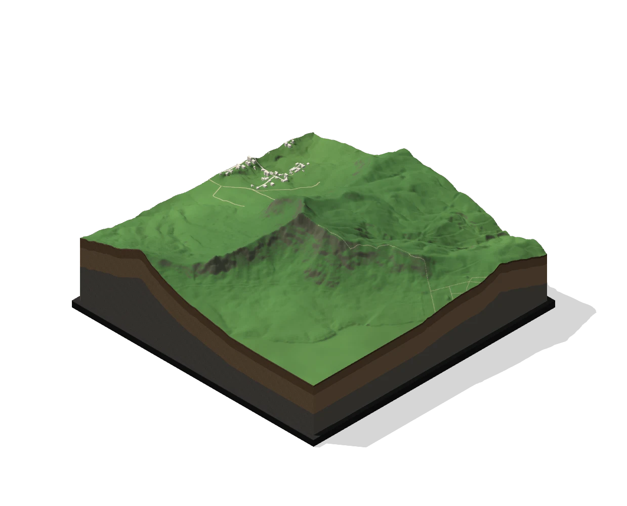
Explore the island from 1 m elevation data, then cut out any mountain as a diorama.
Terrain: Land Drainage Authority, Mauritius (MNT 2021, 1 m) and Copernicus DEM GLO-30 © DLR e.V., © Airbus Defence and Space GmbH, provided under COPERNICUS by the EU and ESA. Peak names, roads and buildings © OpenStreetMap contributors (ODbL) and Overture Maps Foundation, with building outlines from Google Open Buildings (CC BY 4.0) and Microsoft, and heights from Google Open Buildings 2.5D Temporal (CC BY 4.0). The sea floor is stylised.